SATELLITE SERVICES
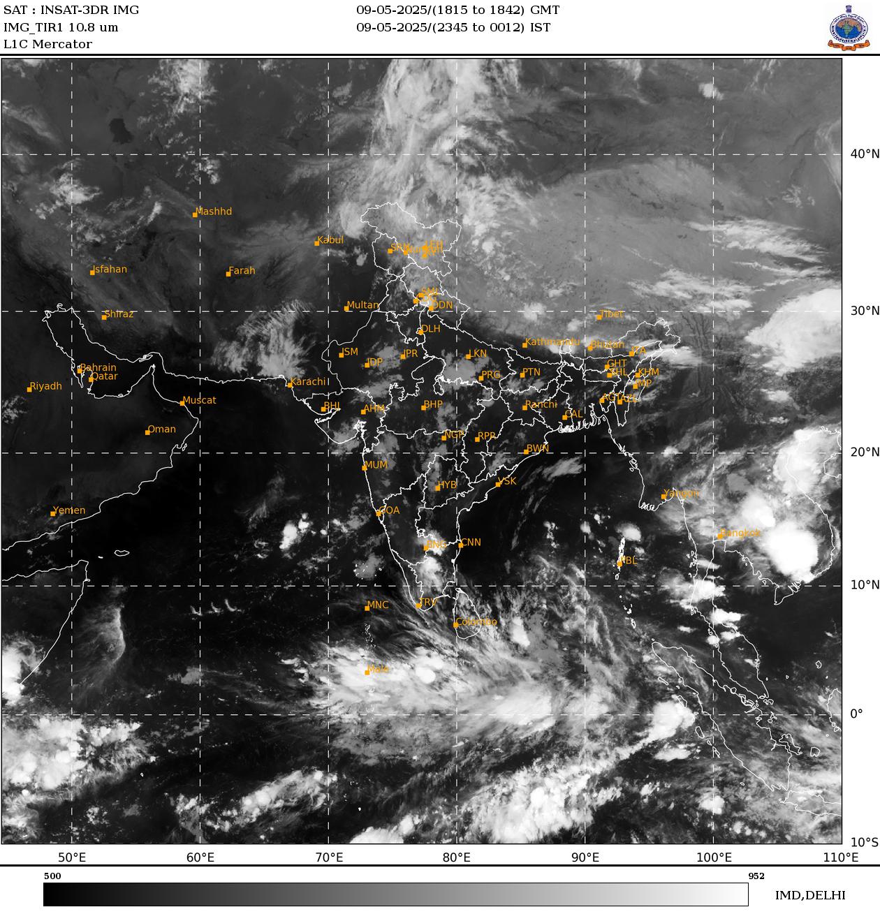
Asia - Sector | Infrared-1
Infrared - 1
The infrared 1 channel (10.8 µm) belongs to the Infrared window region (10-12µm) of the electromagnetic spectrum. It provides quantitative measurements of temperature of the underlying surface or clouds. The greatest advantage of IR images is its round the clock (day & night) availability. In black and white IR imagery, white shades i.e. high brightness represents cold areas (higher cloud heights) whereas black shades (low brightness) indicates warm surfaces or low cloud height. Therefore height estimation of different layers of clouds is easier by analyzing IR imagery in comparison to other imagery.
- Reveals surface and cloud temperatures
- Used for storm intensity and rainfall estimation
- Used for tracking cloud features in time to estimate atmospheric motion


